EOS Data Analytics
Open siteResearch & Data Analysis
Introduction
Global provider of AI-powered satellite imagery analytics
EOS Data Analytics Product Information
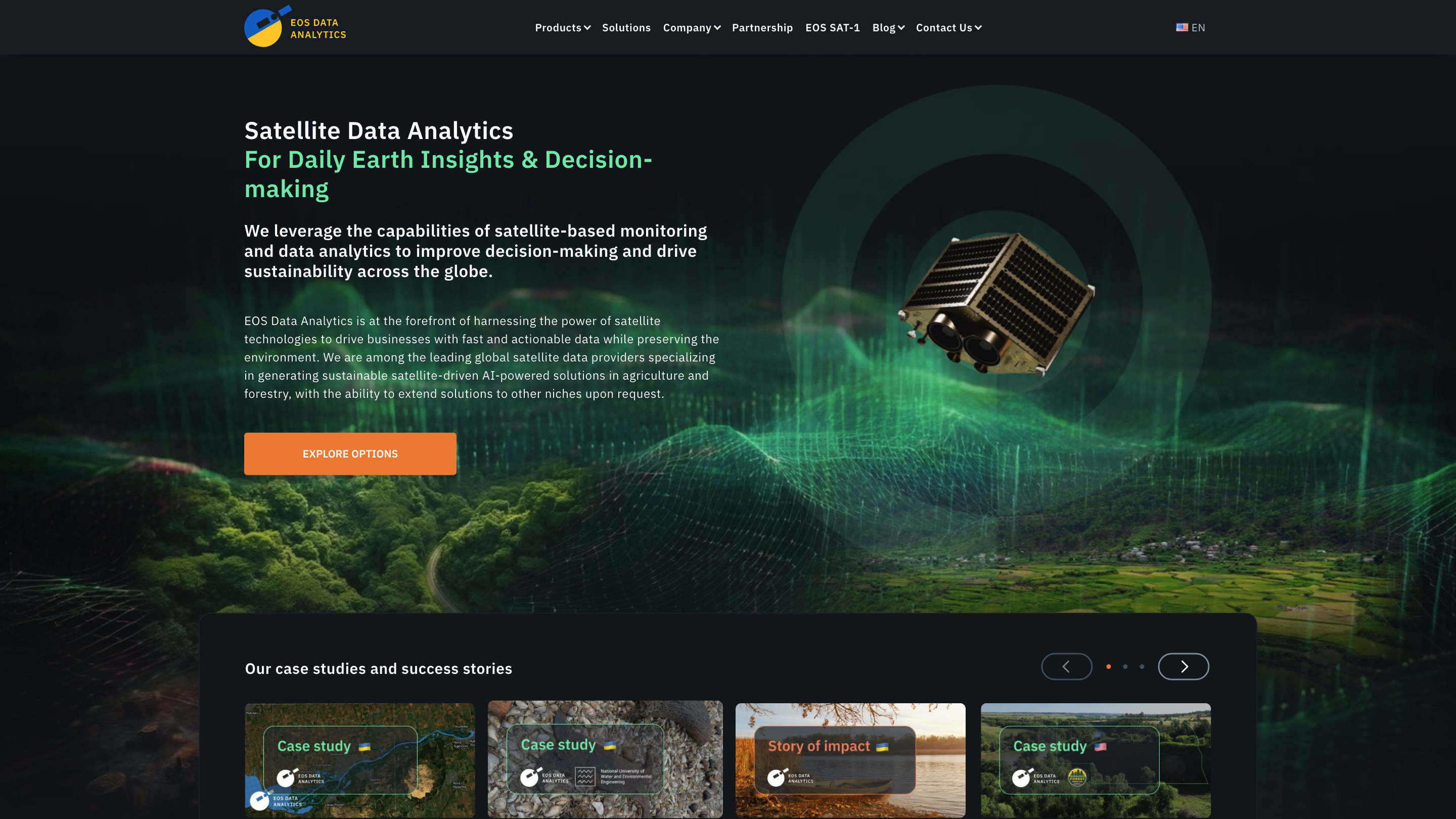
EOS Data Analytics (EOSDA) Satellite Data Analytics and Imagery Analysis is a comprehensive platform family that enables daily earth insights and decision-making through satellite imagery and AI-powered analytics. It targets agriculture, forestry, and related industries, delivering fast, actionable data while prioritizing sustainability and environmental stewardship. The suite combines high-resolution imagery, geospatial analysis, and predictive analytics to help businesses optimize operations, increase yields, manage risks, and monitor land use at scale.
What EOSDA Offers
- Core platforms: EOSDA Crop Monitoring, EOSDA LandViewer, EOSDA Forest Monitoring
- AI-powered analysis: crop classification, field boundaries detection, yield prediction, harvest dynamics, soil moisture analytics, carbon modeling
- Data sources: high-resolution satellite imagery, SAR + optical data fusion, weather forecasts, and historical parameters
- Customization: white-label options and custom project capabilities for enterprises
- Industry focus: agriculture, forestry, environmental management, and related sectors; extensible to other niches on request
- Collaboration and ecosystem: partnerships, case studies, and a robust customer support framework including demos
How It Works
- Ingest diverse satellite imagery and geospatial data from multiple sources.
- Apply AI and remote sensing algorithms to derive actionable insights (e.g., crop types, boundaries, soil moisture, SOC, yield estimates).
- Visualize results in intuitive dashboards and export data for decision-making, planning, or reporting.
- Optionally deploy white-label solutions or custom analytics for enterprises.
Key Products and Capabilities
- EOSDA Crop Monitoring: remotely track crop health, manage large croplands, access weather forecasts, and plan field activities.
- EOSDA LandViewer: store and process large volumes of images from various satellites; gain a bird’s-eye view of any area of interest.
- EOSDA Forest Monitoring: monitor forest cover and health, track deforestation/reforestation, estimate burned areas, and support forest management efforts.
- Yield prediction: satellite-based forecasting with potential accuracy up to 95% given quality ground truth data.
- Crop classification: map crops using SAR + optical data fusion with class-specific coloring.
- Field boundaries detection: obtain instant, high-detail field outlines from space.
- Harvest dynamics monitoring: track harvest progress and estimate dry matter content remotely.
- Soil moisture analytics: surface and root-level moisture monitoring with data updates every 1–2 days.
- Soil Organic Carbon (SOC) modeling: estimate SOC to support soil health programs and carbon accounting.
- Custom projects and white-label solutions: tailor-made analytics and branding for partners.
Use Cases
- Agriculture: optimize fertilizer application, irrigation planning, and yield management.
- Forestry: monitor stand health, deforestation, reforestation, and wildfire impact.
- Climate & sustainability: model soil carbon, monitor land use, and support carbon markets.
- GIS and land management: rapid field boundary delineation and crop type mapping for large-scale operations.
Safety, Compliance, and Data Handling
- Commitment to reliable, transparent analytics; ensure responsible use of satellite data for decision-making.
- Refer to respective product terms, privacy policies, and data handling guidelines for each deployment or integration.
Core Features
- Integrated satellite data analytics platform combining multiple data sources (optical, SAR) in one interface
- Crop Monitoring, LandViewer, and Forest Monitoring as primary product lines
- AI-powered analytics: crop classification, field boundaries detection, yield prediction, harvest dynamics, soil moisture analytics, SOC modeling
- High-resolution imagery access and processing
- Weather and historical data integration for contextual analysis
- White-label and custom project capabilities for enterprises
- Actionable dashboards and export-ready analytics for decision-makers
- Global coverage with scalable processing for large agricultural and forestry operations