OpalAi
Open siteIntroduction
Create floor plans with a simple walkthrough using OpalAi's AI technology.
OpalAi Product Information
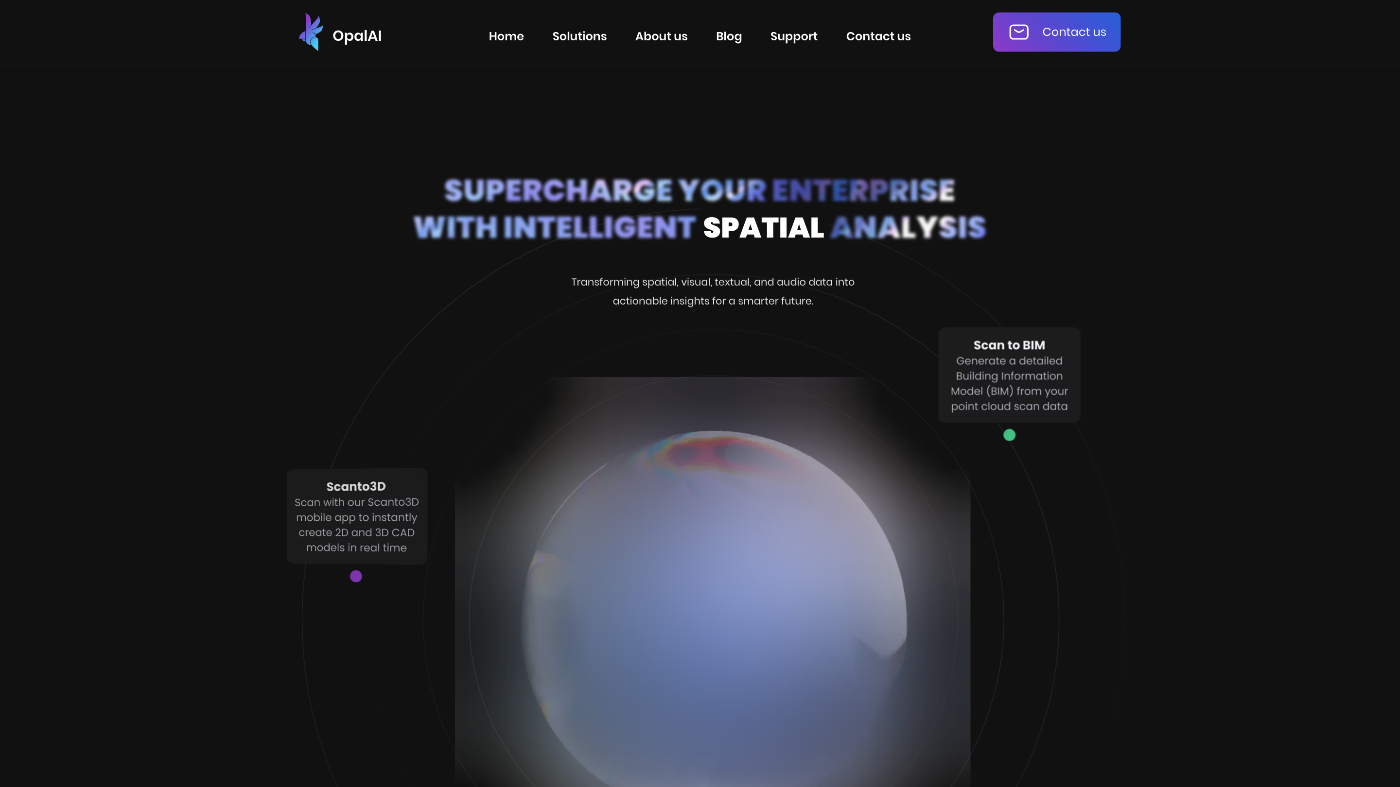
OpalAI Spatial CMS is an enterprise-grade AI-powered platform that transforms spatial, visual, textual, and audio data into actionable insights to support smarter decision-making across industries. The solution suite includes Scan to BIM, Scanto3D, Astro Adjuster, and Urbanomy, backed by scalable 3D mapping, vision-language models, and 3D reconstruction technologies.
Overview
OpalAI offers a collection of AI-driven tools designed to convert raw sensor data (point clouds, LiDAR, 360 cameras, imagery) into detailed 3D models, BIMs, and spatial analytics. The platform emphasizes rapid model generation, real-time or near-real-time analysis, and decision-ready outputs for construction, property tech, insurance, retail, space tech, and transportation.
How It Works
- Upload or capture spatial data (point clouds, LiDAR, 360 videos/images).
- Use Scan to BIM to generate detailed Building Information Models automatically.
- Leverage Scanto3D to create 2D/3D CAD models in real time via a mobile app.
- Apply Astro Adjuster for fast video analysis with Vision Language Models to extract insights in minutes rather than hours.
- Employ Urbanomy to drive smarter, data-driven decisions for urban street analytics.
- Integrate outputs into your workflows with industry-standard formats and scalable cloud processing.
Core Features
- Scan to BIM: Automatic generation of detailed BIMs from point cloud scans with a simple walkthrough.
- ScanTo3D: Real-time 2D/3D CAD modeling via mobile app.
- Astro Adjuster: Efficient video analysis using Vision Language Models to accelerate processing time.
- Urbanomy: Data-driven urban analytics for smarter city street decisions.
- 3D Mapping and Reconstruction: Advanced 3D scene understanding and modeling.
- 3D Deep Learning and Information Modeling: Robust 3D information modeling capabilities.
- Industry-focused Solutions: Tailored applications for PropTech, InsurTech, Retail Tech, Space Tech, and Transport Tech.
- Data-Driven Insights: Converts spatial, visual, textual, and audio data into actionable insights.
- Privacy and Security: Enterprise-grade data handling and integration options.
Use Cases
- Real estate and property development: fast BIM generation from scans for planning and renovations.
- Insurance claim assessments: transforming video recordings into structured claim analyses.
- Smart city and retail analytics: 3D digital twins and indoor navigation for optimized operations.
- Space and transportation analytics: satellite/SAR imagery and infrastructure monitoring.
Safety & Compliance
- Outputs are intended for enterprise decision-making and workflow integration. Follow local regulations for data handling and privacy.
Why OpalAI
- Scalable, AI-driven spatial data processing
- Real-time or near-real-time modeling and analysis
- Broad industry applicability with integrated workflows
- Proven technology backed by NSF and academic partnerships
Related Resources
- Scan to BIM
- Scanto3D
- Astro Adjuster
- Urbanomy
- 3D Mapping and Reconstruction
Contact
- For demos and inquiries, reach out via the OpalAI site or contact [email protected]