Picarta
Open siteImage Generation & Editing
Introduction
Find photo locations using AI.
Picarta Product Information
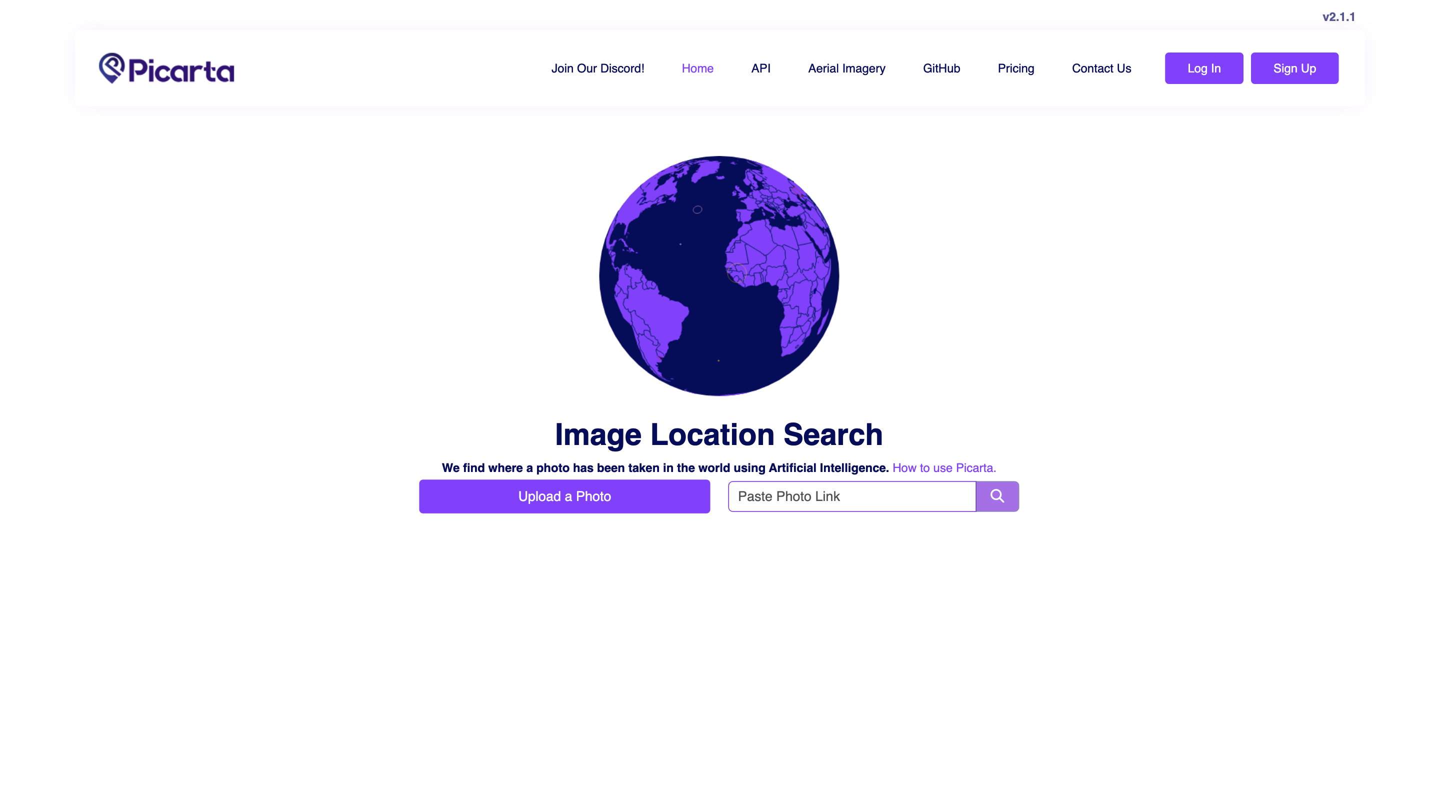
Photo Location Search using AI v2.1.1 is an AI-powered image geolocalization tool that helps you determine where a photo was taken by analyzing its metadata and visual content. It provides location details such as latitude, longitude, timestamps, camera details, and map directions. The service emphasizes global search capabilities, user accounts for full results, and privacy-conscious handling of uploaded images.
How to Use Picarta AI
- Upload a Photo. Upload an image you want to locate. The tool analyzes EXIF data and visual cues to identify potential locations.
- Search Location. Initiate the location search to obtain latitude, longitude, timestamp, and camera details. Full results may require logging in or upgrading your account.
- View on Map. Use the integrated map to view directions and the exact location on Google Maps.
- Get Directions. Generate directions from your current location or another starting point.
Disclaimer: Some features require an account or subscription to view full results details. Availability and quota depend on your plan and current balance.
Features and Templates
- Image location search by analyzing photo metadata (EXIF) and visual features
- Global search across worldwide locations
- Coordinates, timestamp, and camera details extraction
- Integrated Google Maps directions
- Map view and downloadable directions
- Newsletter signup for updates
- Social channels: Twitter, TikTok, Instagram, YouTube for Picarta AI updates
How It Works
- Upload a photo
- The AI reads EXIF data (if present) and analyzes visual cues to infer possible locations
- The system returns latitude/longitude, timestamp, and camera details
- Users can view results on a map and obtain directions
- Full result details may require login or subscription
Safety and Legal Considerations
- Respect privacy and ownership when uploading photos.
- Ensure you have rights to analyze and share location data derived from images.
- Be mindful of sharing precise locations publicly if it involves sensitive or private properties.
Core Features
- AI-based image geolocalization to determine where a photo was taken
- Extraction of latitude, longitude, timestamp, and camera details
- Worldwide search with Google Maps integration
- Map view and route directions
- User account-based access to full results
- Quota management (daily limits, recharge, or subscription required for extended access)
- Social and community channels for updates