Cybertiks
Open siteResearch & Data Analysis
Introduction
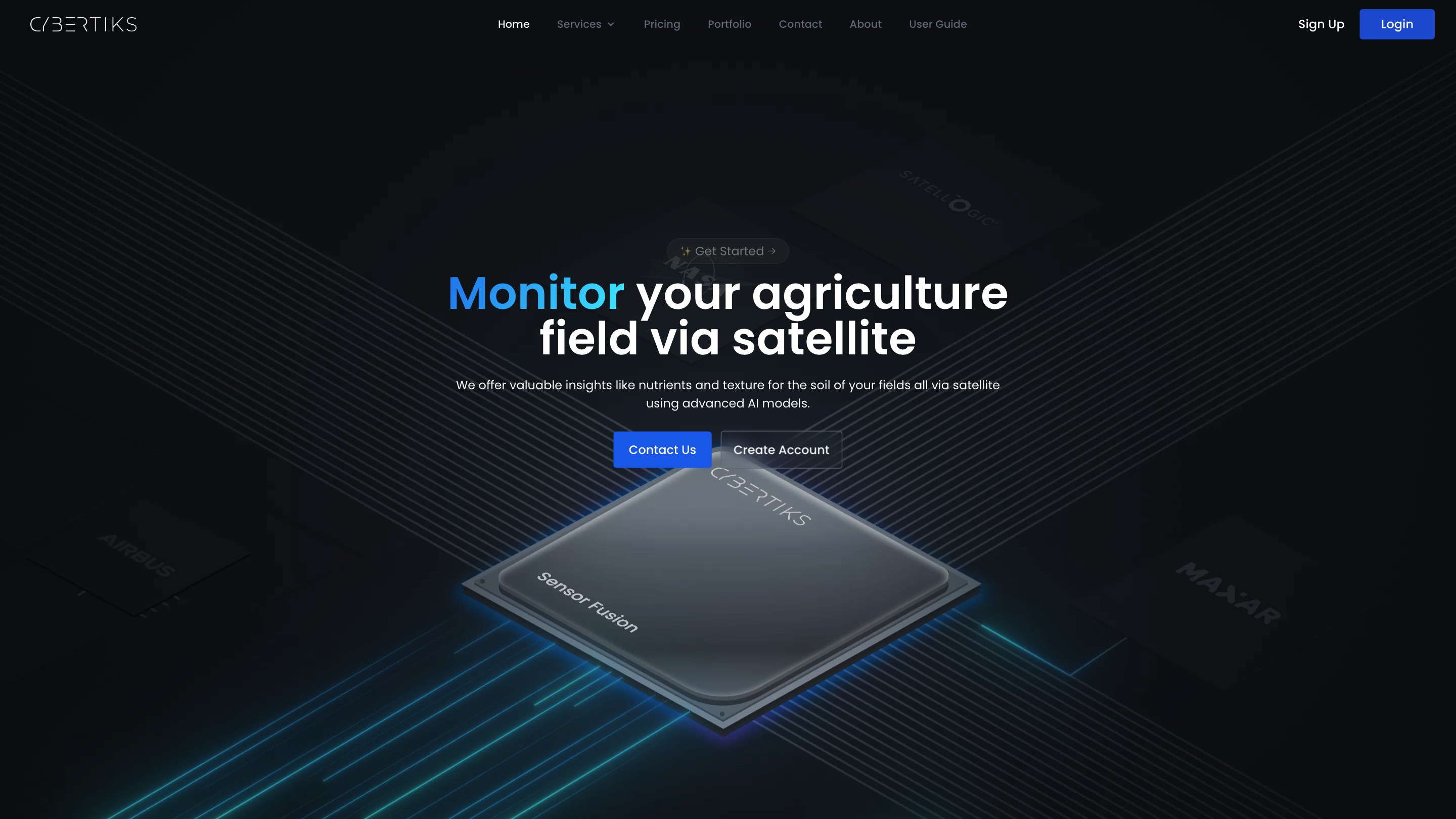
Cybertiks uses remote sensing and AI to revolutionize agricultural analysis for sustainability.
Cybertiks Product Information
Cybertiks – Satellite Agriculture Intelligence Platform is an AI-powered remote sensing service that analyzes agricultural fields via satellite imagery to provide actionable metrics on soil nutrients, texture, and field status. The platform combines thermodynamic and spectral analysis with AI models trained on thousands of fields to deliver high-accuracy insights (reported over 80% accuracy) and historical context, enabling remote field management for clients across industries. The system emphasizes data fusion from multiple sensors, customizable solutions, and ongoing monitoring with updates every 7 days.
How Cybertiks Works
- Capture and integrate data: Leverages optical, radar, thermal, and other available sensors from satellites, weather data, drones, and cameras.
- Thermodynamic and spectral analysis: Uses electromagnetic sensor data to identify materials and extract relevant features through QSIS (quantum-enabled AI).
- Detection & Classification: Detects minerals/elements and classifies them by spectral signature, shape, or client-defined categories.
- Quantification: Provides specific amounts or conditional ranges for each element or property.
- Visualization & reporting: Presents results on maps with up to 100 m² resolution and delivers tailored reports through SaaS dashboards.
Core Capabilities
- Field-level remote analysis anywhere in the world
- AI models tailored for individual metrics with validation across thousands of fields
- Data fusion from optical, radar, thermodynamic, and other sources
- Regular 7-day refresh cycle for monitoring changes
- Historical insights via satellite archive
- High-resolution map visualization (up to 100 m²)
- Custom SaaS software development for client needs
- Industry certifications and validated methodologies
Services & Use Cases
- Agriculture: soil analysis, nutrient and texture assessment, field status monitoring
- Industrial and environmental applications via remote sensing of natural resources
- Tailored, client-specific data integration and reporting
Safety and Compliance
- Designed for business and industrial use with verified validations from industrial organizations. Users should ensure compliant and ethical use of satellite-derived analytics.
Core Features
- Satellite-based agriculture analytics with AI-driven insights
- Field-level monitoring across global locations
- Historical data access and trend analysis
- Multi-sensor data fusion (optical, radar, thermodynamic)
- AI models tailored to specific metrics with validated accuracy
- Regular weekly updates and notifications
- Custom SaaS solutions and dashboards
- Clear data visualization at a fine spatial resolution
- Industrial-grade certifications and validated methodologies